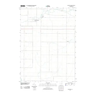
2010 Map of Masonville
USGS Topo · Published 2010About this map
Masonville stands as the primary community in this rural landscape, situated in the northwestern corner of the quadrangle. The town's civic identity is anchored by the Masonville Post Office, which serves as a central point for the surrounding agricultural tracts. The geography is defined by a dense network of meandering waterways, including Prairie Creek, Silver Creek, and Sand Creek, which carve through the land and influence the placement of regional roads.
Find a feature on this map
34 named features on this map. Tap any name to fly to it.
Don’t see what you’re looking for? This feature index may not catch every label — zoom into the map to look around manually.
Map Details
Editions of this 2010 Masonville Map
This is the sole edition of this map. No revisions or reprints were ever made.
Other maps of this area

1900 · Anamosa
USGS Topo · 1:125,000

1901 · Oelwein
USGS Topo · 1:125,000

1902 · Elkader
USGS Topo · 1:125,000

1903 · Winthrop
USGS Topo · 1:125,000

1959 · Dubuque
USGS Topo · 1:250,000

1961 · Dubuque
USGS Topo · 1:250,000

1962 · Dubuque
USGS Topo · 1:250,000

1965 · Thorpe
USGS Topo · 1:24,000

1965 · Lamont
USGS Topo · 1:24,000

1965 · Dundee
USGS Topo · 1:24,000