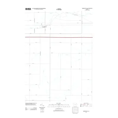
2013 Map of Masonville
USGS Topo · Published 2013About this map
Masonville serves as the central hub of this eastern Iowa landscape, situated at the intersection of a grid-iron street plan and the primary regional transit corridors. The village is defined by a tight cluster of local roads, including Gordon St, John St, and Bernhart St, which transition quickly into the expansive agricultural sections of Delaware County. This layout illustrates the persistence of small-town Iowa infrastructure alongside modernized transportation routes like Highway 20.
Find a feature on this map
38 named features on this map. Tap any name to fly to it.
Don’t see what you’re looking for? This feature index may not catch every label — zoom into the map to look around manually.
Map Details
Editions of this 2013 Masonville Map
This is the sole edition of this map. No revisions or reprints were ever made.
Other maps of this area

1900 · Anamosa
USGS Topo · 1:125,000

1901 · Oelwein
USGS Topo · 1:125,000

1902 · Elkader
USGS Topo · 1:125,000

1903 · Winthrop
USGS Topo · 1:125,000

1959 · Dubuque
USGS Topo · 1:250,000

1961 · Dubuque
USGS Topo · 1:250,000

1962 · Dubuque
USGS Topo · 1:250,000

1965 · Thorpe
USGS Topo · 1:24,000

1965 · Lamont
USGS Topo · 1:24,000

1965 · Dundee
USGS Topo · 1:24,000