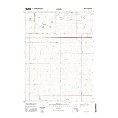
2015 Map of Masonville
USGS Topo · Published 2015About this map
Masonville serves as the central hub of this agricultural landscape along the border of Buchanan and Delaware counties. The town is defined by a rigid grid of streets, including Bernhart St and 215th St, while the surrounding countryside is partitioned into the expansive townships of t89n r7w, t89n r6w, t88n r7w, and t88n r6w. The local topography is carved by a network of waterways, most notably the meandering Coffins Creek to the north and Sand Cr to the east.
Find a feature on this map
38 named features on this map. Tap any name to fly to it.
Don’t see what you’re looking for? This feature index may not catch every label — zoom into the map to look around manually.
Map Details
Editions of this 2015 Masonville Map
This is the sole edition of this map. No revisions or reprints were ever made.
Other maps of this area

1900 · Anamosa
USGS Topo · 1:125,000

1901 · Oelwein
USGS Topo · 1:125,000

1902 · Elkader
USGS Topo · 1:125,000

1903 · Winthrop
USGS Topo · 1:125,000

1959 · Dubuque
USGS Topo · 1:250,000

1961 · Dubuque
USGS Topo · 1:250,000

1962 · Dubuque
USGS Topo · 1:250,000

1965 · Thorpe
USGS Topo · 1:24,000

1965 · Lamont
USGS Topo · 1:24,000

1965 · Dundee
USGS Topo · 1:24,000