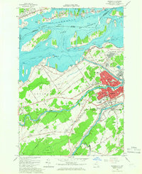
1964 Map of Massena
USGS Topo · Published 1966About this map
The St Lawrence River and its massive mid-century infrastructure dominate this 1964 survey, capturing the industrial and residential core of Massena during the prime of the St Lawrence Seaway era. The map details the engineered landscape of the Wiley Dondero Canal and Richards Landing Dike, alongside the Massena Intake Dam. This international boundary zone shows a complex network of schools such as Nightingale Sch and Holy Family Sch, and significant local industry represented by extensive Gravel Pits and the New York Central Railroad corridor. Nearby Massena Springs and the rural community of Ingleside provide context to the town's growth, while the Grass River and Raquette River weave through the southern portion of the quadrangle, illustrating the importance of these waterways to the region's historical development.
Find a feature on this map
97 named features on this map. Tap any name to fly to it.
Don’t see what you’re looking for? This feature index may not catch every label — zoom into the map to look around manually.
Map Details
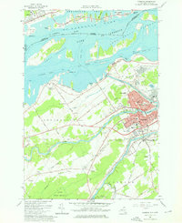
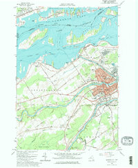
Editions of this 1964 Massena Map
Other maps of this area

1905 · Waddington
USGS Topo · 1:62,500

1906 · Massena
USGS Topo · 1:62,500

1907 · Massena
USGS Topo · 1:62,500

1942 · Chase Mills
USGS Topo · 1:24,000

1942 · Norfolk
USGS Topo · 1:24,000

1942 · Barnhart Island
USGS Topo · 1:24,000

1942 · Massena
USGS Topo · 1:24,000

1943 · Barnhart Island
USGS Topo · 1:31,680
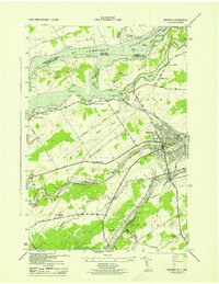
1943 · Massena
USGS Topo · 1:31,680
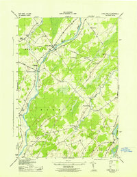
1943 · Chase Mills
USGS Topo · 1:31,680