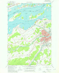
1964 Map of Massena
USGS Topo · Published 1976About this map
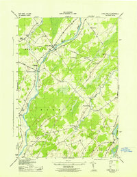
Massena and the surrounding borderlands of St. Lawrence County are defined here by a massive mid-century transformation of the northern landscape. This era marks the completed St Lawrence Seaway and the Wiley Dondero Canal, which reshaped the St Lawrence River into the expansive Lake St Lawrence. The map details the complex industrial and municipal infrastructure supporting the region, from the Massena Intake Dam and associated waterworks to the Grand Trunk railroad corridor at Massena Springs. Residential growth is evident in neighborhoods like Tucker Terrace and the grid of streets including Orvis St and Main St. Local history is anchored by numerous institutions such as Sacred Heart Sch, Nightingale Sch, and the Adath Cem, while the southern reaches preserve the St Lawrence State Forest No 15.
Find a feature on this map
111 named features on this map. Tap any name to fly to it.
Don’t see what you’re looking for? This feature index may not catch every label — zoom into the map to look around manually.
Map Details
Editions of this 1964 Massena Map
Other maps of this area

1905 · Waddington
USGS Topo · 1:62,500

1906 · Massena
USGS Topo · 1:62,500

1907 · Massena
USGS Topo · 1:62,500

1942 · Chase Mills
USGS Topo · 1:24,000

1942 · Norfolk
USGS Topo · 1:24,000

1942 · Barnhart Island
USGS Topo · 1:24,000

1942 · Massena
USGS Topo · 1:24,000

1943 · Barnhart Island
USGS Topo · 1:31,680
1943 · Massena
USGS Topo · 1:31,680
1943 · Chase Mills
USGS Topo · 1:31,680