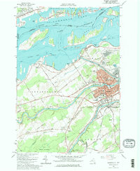
1964 Map of Massena
USGS Topo · Published 1976About this map
The St Lawrence River and its industrial transformation define this mid-1960s study of the international border. The landscape shows the massive engineering of the St Lawrence Seaway and the Wiley-Dondero Canal, creating Lake St Lawrence and submerging portions of the old shoreline. The massive Massena Intake Dam stands as a testament to the era's power projects, while the town of Massena itself serves as a dense hub of civic and religious life, featuring numerous parochial schools like Sacred Heart Sch and the Adath Cem.
Find a feature on this map
109 named features on this map. Tap any name to fly to it.
Don’t see what you’re looking for? This feature index may not catch every label — zoom into the map to look around manually.
Map Details
Editions of this 1964 Massena Map
Other maps of this area

1905 · Waddington
USGS Topo · 1:62,500

1906 · Massena
USGS Topo · 1:62,500

1907 · Massena
USGS Topo · 1:62,500

1942 · Chase Mills
USGS Topo · 1:24,000

1942 · Norfolk
USGS Topo · 1:24,000

1942 · Barnhart Island
USGS Topo · 1:24,000

1942 · Massena
USGS Topo · 1:24,000

1943 · Barnhart Island
USGS Topo · 1:31,680
1943 · Massena
USGS Topo · 1:31,680
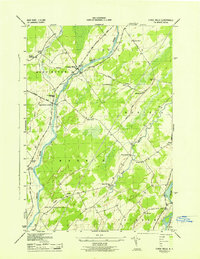
1943 · Chase Mills
USGS Topo · 1:31,680