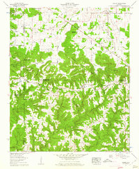
1960 Map of Massey
USGS Topo · Published 1961About this map
Brindley Mountain dominates the landscape of this 1960 survey, serving as a natural divide between the rugged uplands and the agricultural valleys of northern Alabama. This region, where Morgan Co meets Cullman Co, is defined by a dense network of small communities and rural religious centers such as Evergreen Church and Corinth Ch. The western edge of the map is anchored by the William B Bankhead National Forest, while the eastern portion highlights the settlement of Massey and the crossroads at Battleground. The mapping of the Old Tennessee Valley Road and the various gaps like Basham Gap and Parker Gap reveals the historical movement of people through these steep ridges. Cultural markers such as the Penn Cem and Campground Cem provide essential data for genealogists tracing family histories in the townships surrounding Crowdabout Creek.
Find a feature on this map
62 named features on this map. Tap any name to fly to it.
Don’t see what you’re looking for? This feature index may not catch every label — zoom into the map to look around manually.
Map Details
Editions of this 1960 Massey Map
4 editions found
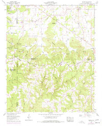
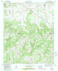
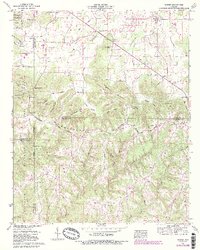
Other maps of this area

1888 · Cullman
USGS Topo · 1:125,000

1892 · Cullman
USGS Topo · 1:125,000

1927 · Falkville
USGS Topo · 1:24,000

1935 · Upshaw
USGS Topo · 1:24,000

1935 · Danville
USGS Topo · 1:48,000

1935 · Oakville
USGS Topo · 1:24,000

1936 · Mc Kendry
USGS Topo · 1:24,000

1936 · Hartselle
USGS Topo · 1:24,000

1936 · Stroups Crossroads
USGS Topo · 1:24,000

1938 · Danville
USGS Topo · 1:62,500