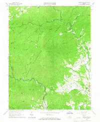
1965 Map of Massies Mill
USGS Topo · Published 1967About this map
George Washington National Forest dominates this mid-1960s landscape, where the Blue Ridge heights meet the upper reaches of the Tye River. The settlement of Massies Mill serves as a focal point in the southeast, situated near where Muddy Run and Silver Creek join the river system. Historically significant transport routes are clearly visible, including segments of the Blue Ridge Parkway and the Appalachian Trail winding through high peaks like The Priest and The Friar. Evidence of former industry remains in the form of an Old Railroad Grade tracking through the river valley, while numerous small churches and family burial grounds like Sandy Ridge Cem and Oak Hill Ch dot the gaps and hillsides. The map captures the area just before the devastating floods of 1969, preserving the exact layout of valley hamlets like Tyro and Woodson.
Find a feature on this map
47 named features on this map. Tap any name to fly to it.
Don’t see what you’re looking for? This feature index may not catch every label — zoom into the map to look around manually.
Map Details
Editions of this 1965 Massies Mill Map
2 editions found
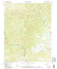
Other maps of this area

1892 · Buckingham
USGS Topo · 1:125,000

1894 · Lexington
USGS Topo · 1:125,000

1935 · Amherst
USGS Topo · 1:48,000

1936 · Vesuvius
USGS Topo · 1:48,000

1939 · Amherst
USGS Topo · 1:62,500

1941 · Vesuvius
USGS Topo · 1:62,500

1943 · Lovingston
USGS Topo · 1:62,500

1946 · Lovingston
USGS Topo · 1:62,500

1947 · Roanoke
USGS Topo · 1:250,000

1950 · Amherst
USGS Topo · 1:62,500