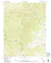
1965 Map of Massies Mill
USGS Topo · Published 1984About this map
Crabtree Falls and the surrounding heights of the George Washington National Forest dominate this mid-century topographic survey of Nelson and Amherst counties. The settlement at Massies Mill serves as a local hub along the Tye River, while smaller mountain communities like Alhambra and Nash are linked by winding roads through steep gaps. The landscape is defined by its verticality, featuring prominent peaks such as The Priest, The Friar, and Three Ridges, which provide the backdrop for the Appalachian National Scenic Trail as it traverses the high ground near the Blue Ridge Parkway. Genealogists and historians can identify numerous family-named landmarks and rural institutions, including Harmony Ch, Piney River Ch, and the Bethel Cem. An Old Railroad Grade follows the drainage near Allen Creek, hinting at the area's earlier timber and transport history.
Find a feature on this map
46 named features on this map. Tap any name to fly to it.
Don’t see what you’re looking for? This feature index may not catch every label — zoom into the map to look around manually.
Map Details
Editions of this 1965 Massies Mill Map
2 editions found
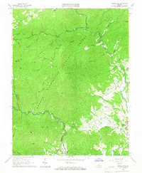
Other maps of this area

1892 · Buckingham
USGS Topo · 1:125,000

1894 · Lexington
USGS Topo · 1:125,000

1935 · Amherst
USGS Topo · 1:48,000

1936 · Vesuvius
USGS Topo · 1:48,000

1939 · Amherst
USGS Topo · 1:62,500

1941 · Vesuvius
USGS Topo · 1:62,500

1943 · Lovingston
USGS Topo · 1:62,500

1946 · Lovingston
USGS Topo · 1:62,500

1947 · Roanoke
USGS Topo · 1:250,000

1950 · Amherst
USGS Topo · 1:62,500