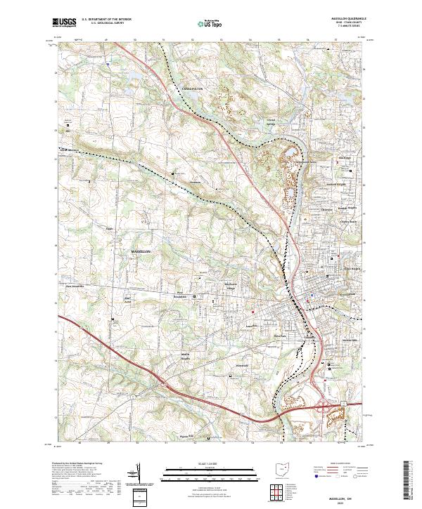
2023 Map of Massillon
USGS Topo · Published 2023About this map
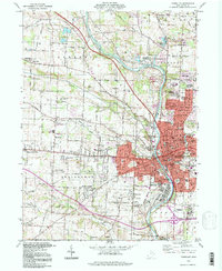
The Tuscarawas River valley defines the industrial and residential corridors of this Stark County landscape, with the historic city of Massillon serving as the central hub. This modern topographic record captures the transition from the concentrated urban core to the expanding suburbs and outlying settlements like Canal Fulton and North Lawrence. The influence of the Wheeling & Lake Erie RR is visible alongside numerous local landmarks that tell the story of the area's development, including the Charity Rotch neighborhood and Mayflower Village.
Find a feature on this map
247 named features on this map. Tap any name to fly to it.
Don’t see what you’re looking for? This feature index may not catch every label — zoom into the map to look around manually.
Map Details
Editions of this 2023 Massillon Map
This is the sole edition of this map. No revisions or reprints were ever made.
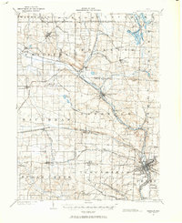
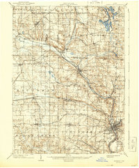
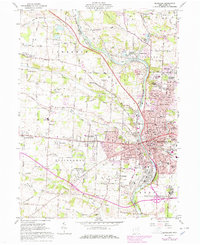
Historical Maps of Tuscarawas Township Through Time
5 maps found
Featured Locations
- Massillon, OH
- Jackson Township, OH
- Tuscarawas Township, OH
- Lawrence Township, OH
- Urban Hill, Lawrence Township