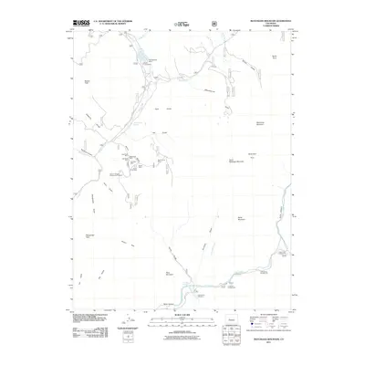
2011 Map of Matchless Mountain
USGS Topo · Published 2011About this map
Matchless Mountain and the surrounding high-altitude terrain of Gunnison County are defined by a complex network of mining sites and alpine drainage systems. In the northern reaches, Spring Creek Reservoir is fed by Limber Creek and Spring Creek, supporting recreation at Mosca Campground. The central region is particularly notable for its concentrated mining history, featuring a cluster of sites including the Nash Shaft Mine, Old Shaft Mine, and Boiler Shaft Mine. These operations, along with the Barium- Maggie Manganese Prospect, indicate the diverse mineral interests that once drove activity in these remote gulches.
Find a feature on this map
50 named features on this map. Tap any name to fly to it.
Don’t see what you’re looking for? This feature index may not catch every label — zoom into the map to look around manually.
Map Details
Editions of this 2011 Matchless Mountain Map
This is the sole edition of this map. No revisions or reprints were ever made.
Other maps of this area

1888 · Crested Butte
USGS Topo · 1:62,500

1889 · Crested Butte
USGS Topo · 1:62,500

1893 · Crested Butte
USGS Topo · 1:62,500

1934 · Taylor Park
USGS Topo · 1:62,500

1937 · Taylor Park
USGS Topo · 1:62,500

1941 · Pitkin
USGS Topo · 1:62,500

1945 · Pitkin
USGS Topo · 1:62,500

1956 · Montrose
USGS Topo · 1:250,000

1959 · Montrose
USGS Topo · 1:250,000

1960 · Montrose
USGS Topo · 1:250,000