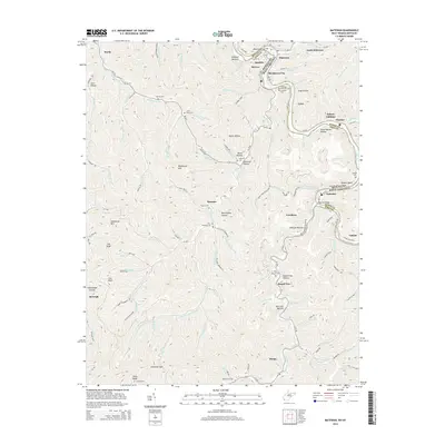
2014 Map of Matewan
USGS Topo · Published 2014About this map
Matewan and its neighbors along the Tug Fork river occupy a landscape deeply etched by the border history of West Virginia and Kentucky. This area, famous for the Hatfield-McCoy legacy, is marked by numerous family burying grounds such as the Matthew Hatfield Cem and the McCoy Cem. The settlement pattern follows the narrow valley floors and hollows, with communities like Blackberry City, Hatfield Bottom, and Freeburn clustered near the water and rail corridors. Higher elevations are dominated by landmarks like Blackberry Mtn and Rockhouse Mtn, while the intricate network of "runs" and "branches" including Poundmill Run and Sulphur Cr drain the steep terrain. Infrastructure such as the Matewan Bridge and Egerton Bridge facilitate movement across the state line, connecting these coal-country settlements to the broader region via routes like KY-1056 and WV-49.
Find a feature on this map
126 named features on this map. Tap any name to fly to it.
Don’t see what you’re looking for? This feature index may not catch every label — zoom into the map to look around manually.
Map Details
Editions of this 2014 Matewan Map
This is the sole edition of this map. No revisions or reprints were ever made.
Other maps of this area

1886 · Grundy
USGS Topo · 1:125,000

1887 · Warfield
USGS Topo · 1:125,000

1890 · Grundy
USGS Topo · 1:125,000

1891 · Warfield
USGS Topo · 1:125,000

1892 · Grundy
USGS Topo · 1:125,000

1909 · Matewan
USGS Topo · 1:48,000

1914 · Hurley
USGS Topo · 1:48,000

1915 · Regina
USGS Topo · 1:48,000

1915 · Hurley
USGS Topo · 1:48,000

1915 · Williamson
USGS Topo · 1:48,000