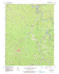
1992 Map of Matewan
USGS Topo · Published 1992About this map
Tug Fork carves the jagged border between Mingo County, West Virginia, and Pike County, Kentucky, anchoring a landscape defined by its coal-rich ridges and narrow hollows. In the early 1990s, the industrial legacy of the region is evident in the dense network of mines, a strip mine near McVeigh, and a prominent conveyor system at Ransom. Major settlements such as Matewan and Blackberry City sit tight against the riverbanks, linked by the Norfolk and Western railroad which follows the water's curves.
Find a feature on this map
98 named features on this map. Tap any name to fly to it.
Don’t see what you’re looking for? This feature index may not catch every label — zoom into the map to look around manually.
Map Details
Editions of this 1992 Matewan Map
This is the sole edition of this map. No revisions or reprints were ever made.
Other maps of this area

1886 · Grundy
USGS Topo · 1:125,000

1887 · Warfield
USGS Topo · 1:125,000

1890 · Grundy
USGS Topo · 1:125,000

1891 · Warfield
USGS Topo · 1:125,000

1892 · Grundy
USGS Topo · 1:125,000

1909 · Matewan
USGS Topo · 1:48,000

1914 · Hurley
USGS Topo · 1:48,000

1915 · Regina
USGS Topo · 1:48,000

1915 · Hurley
USGS Topo · 1:48,000

1915 · Williamson
USGS Topo · 1:48,000