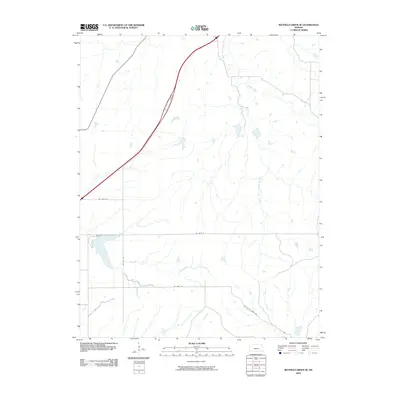
2009 Map of Matfield Green SE
USGS Topo · Published 2009About this map
The South Fork Cottonwood River and Walnut River define the drainage patterns of this rural Butler County landscape during the first decade of the 2000s. The terrain is characterized by a network of sectional roads and water bodies, most notably Fox Lake in the western portion of the quadrangle. Small tributaries like Thurman Creek and Cat Creek weave through the open countryside, supporting a agricultural layout marked by thoroughfares such as NE 160th St and NE Battle Creek Rd. This survey reflects the persistence of traditional land divisions in the Kansas Flint Hills region, where the intersection of NE Gray Rd and various east-west routes facilitates access to the area's many cattle ponds and creeks.
Find a feature on this map
11 named features on this map. Tap any name to fly to it.
Don’t see what you’re looking for? This feature index may not catch every label — zoom into the map to look around manually.
Map Details
Editions of this 2009 Matfield Green SE Map
This is the sole edition of this map. No revisions or reprints were ever made.
Other maps of this area

1885 · Eureka
USGS Topo · 1:125,000

1888 · Emporia
USGS Topo · 1:125,000

1888 · Eureka
USGS Topo · 1:125,000

1888 · Eldorado
USGS Topo · 1:125,000

1894 · Emporia
USGS Topo · 1:125,000

1894 · Eureka
USGS Topo · 1:125,000

1898 · Cottonwood Falls
USGS Topo · 1:125,000

1955 · Wichita
USGS Topo · 1:250,000

1955 · Hutchinson
USGS Topo · 1:250,000

1958 · Wichita
USGS Topo · 1:250,000