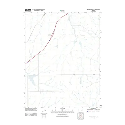
2012 Map of Matfield Green SE
USGS Topo · Published 2012About this map
S Fork Cottonwood River and the Walnut River define the drainage of this Kansas landscape, where numerous tributaries like Mercer Cr and Thurman Cr carve through the terrain. The central corridor is dominated by a modern transportation artery, notably featuring the Matfield Green Service Facility, a significant landmark for travelers in this part of Butler County. The map captures a moment of transition between established ranch land and the requirements of the interstate system.
Find a feature on this map
13 named features on this map. Tap any name to fly to it.
Don’t see what you’re looking for? This feature index may not catch every label — zoom into the map to look around manually.
Map Details
Editions of this 2012 Matfield Green SE Map
This is the sole edition of this map. No revisions or reprints were ever made.
Other maps of this area

1885 · Eureka
USGS Topo · 1:125,000

1888 · Emporia
USGS Topo · 1:125,000

1888 · Eureka
USGS Topo · 1:125,000

1888 · Eldorado
USGS Topo · 1:125,000

1894 · Emporia
USGS Topo · 1:125,000

1894 · Eureka
USGS Topo · 1:125,000

1898 · Cottonwood Falls
USGS Topo · 1:125,000

1955 · Wichita
USGS Topo · 1:250,000

1955 · Hutchinson
USGS Topo · 1:250,000

1958 · Wichita
USGS Topo · 1:250,000