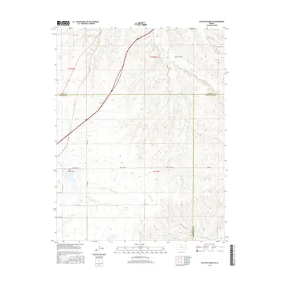
2015 Map of Matfield Green SE
USGS Topo · Published 2015About this map
S Fork Cottonwood River and the Walnut River converge their drainage basins across this section of the Kansas Flint Hills. The landscape is defined by a dense network of prairie tributaries, including Thurman Cr and Mercer Cr, which carve through the undulating topography typical of the region. This 2015 survey documents the rural character of the area at the intersection of Chase, Butler, and Greenwood counties.
Find a feature on this map
26 named features on this map. Tap any name to fly to it.
Don’t see what you’re looking for? This feature index may not catch every label — zoom into the map to look around manually.
Map Details
Editions of this 2015 Matfield Green SE Map
This is the sole edition of this map. No revisions or reprints were ever made.
Other maps of this area

1885 · Eureka
USGS Topo · 1:125,000

1888 · Emporia
USGS Topo · 1:125,000

1888 · Eureka
USGS Topo · 1:125,000

1888 · Eldorado
USGS Topo · 1:125,000

1894 · Emporia
USGS Topo · 1:125,000

1894 · Eureka
USGS Topo · 1:125,000

1898 · Cottonwood Falls
USGS Topo · 1:125,000

1955 · Wichita
USGS Topo · 1:250,000

1955 · Hutchinson
USGS Topo · 1:250,000

1958 · Wichita
USGS Topo · 1:250,000