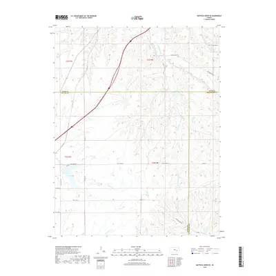
2018 Map of Matfield Green SE
USGS Topo · Published 2018About this map
S Fork Cottonwood River meanders through the heart of this landscape where Chase, Butler, and Greenwood counties converge. The terrain is defined by a dense network of tributaries including Mercer Cr, Thurman Cr, and Little Cedar Cr, which carve into the rolling prairie. This 2018 survey illustrates a modern rural infrastructure of section-line roads like First Street Rd and 300th St that navigate the topographic breaks. Fox Lake stands out as a significant water feature in the southwestern quadrant, while the Walnut River begins its course nearby. The map provides a clear record of land divisions across townships t22s r8e and t23s r8e, tracing the enduring relationship between the drainage basins and the cattle country of the Flint Hills region.
Find a feature on this map
24 named features on this map. Tap any name to fly to it.
Don’t see what you’re looking for? This feature index may not catch every label — zoom into the map to look around manually.
Map Details
Editions of this 2018 Matfield Green SE Map
This is the sole edition of this map. No revisions or reprints were ever made.
Other maps of this area

1885 · Eureka
USGS Topo · 1:125,000

1888 · Emporia
USGS Topo · 1:125,000

1888 · Eureka
USGS Topo · 1:125,000

1888 · Eldorado
USGS Topo · 1:125,000

1894 · Emporia
USGS Topo · 1:125,000

1894 · Eureka
USGS Topo · 1:125,000

1898 · Cottonwood Falls
USGS Topo · 1:125,000

1955 · Wichita
USGS Topo · 1:250,000

1955 · Hutchinson
USGS Topo · 1:250,000

1958 · Wichita
USGS Topo · 1:250,000