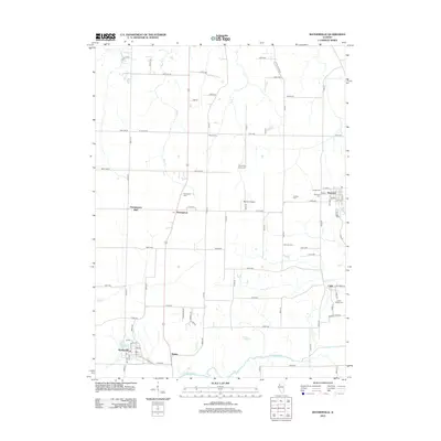
2012 Map of Matherville
USGS Topo · Published 2012About this map
Matherville and the southern banks of the Edwards River anchor this topographic survey of Mercer County, Illinois. The landscape is defined by a dense network of country roads and several small, distinct communities including Sherrard, Preemption, and the cluster at Boden. A significant collection of historical burial grounds, such as Quaker Cem, German Cem, and the Schoening Family Cem, points to the diverse heritage of early settlers in this agricultural region. The map highlights social and infrastructure hubs like Orangemans Hall and Weihler Airport, alongside natural features like Lake Matherville and Karl Lake. Trace the various creeks—Mud Cr, Camp Cr, and Coal Cr—as they feed into the primary river valley, illustrating the drainage patterns that have shaped the local economy and land use for generations.
Find a feature on this map
88 named features on this map. Tap any name to fly to it.
Don’t see what you’re looking for? This feature index may not catch every label — zoom into the map to look around manually.
Map Details
Editions of this 2012 Matherville Map
This is the sole edition of this map. No revisions or reprints were ever made.
Other maps of this area

1912 · Milan
USGS Topo · 1:62,500

1923 · Alexis
USGS Topo · 1:62,500

1925 · Alexis
USGS Topo · 1:62,500

1937 · Orion
USGS Topo · 1:62,500

1944 · Milan
USGS Topo · 1:62,500

1947 · Woodhull
USGS Topo · 1:62,500
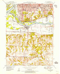
1948 · Milan
USGS Topo · 1:24,000

1949 · Coal Valley
USGS Topo · 1:24,000

1950 · Milan
USGS Topo · 1:24,000
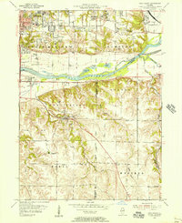
1953 · Coal Valley
USGS Topo · 1:24,000