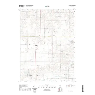
2021 Map of Matherville
USGS Topo · Published 2021About this map
Matherville and the surrounding agricultural uplands of Mercer County are defined by a network of small settlements and family burial grounds. This landscape features several established towns, including Preemption, Sherrard, and the small community of Boden, linked by a grid of county roads and highways. The terrain is divided by several watercourses, most notably the Edwards River along the southern border and Camp Cr cutting through the center.
Find a feature on this map
52 named features on this map. Tap any name to fly to it.
Don’t see what you’re looking for? This feature index may not catch every label — zoom into the map to look around manually.
Map Details
Editions of this 2021 Matherville Map
This is the sole edition of this map. No revisions or reprints were ever made.
Other maps of this area

1912 · Milan
USGS Topo · 1:62,500

1923 · Alexis
USGS Topo · 1:62,500

1925 · Alexis
USGS Topo · 1:62,500

1937 · Orion
USGS Topo · 1:62,500

1944 · Milan
USGS Topo · 1:62,500

1947 · Woodhull
USGS Topo · 1:62,500
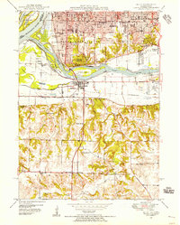
1948 · Milan
USGS Topo · 1:24,000

1949 · Coal Valley
USGS Topo · 1:24,000

1950 · Milan
USGS Topo · 1:24,000
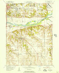
1953 · Coal Valley
USGS Topo · 1:24,000