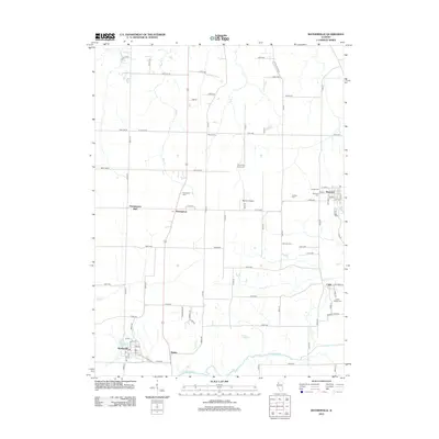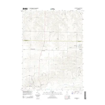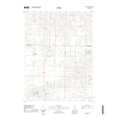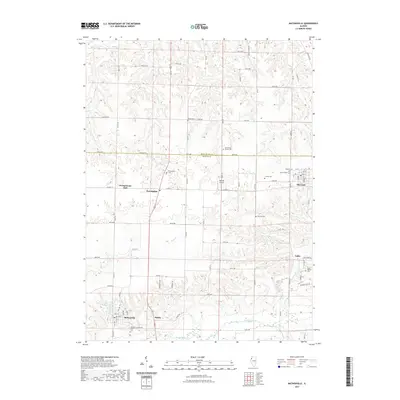
2024 Map of Matherville
USGS Topo · Published 2024About this map
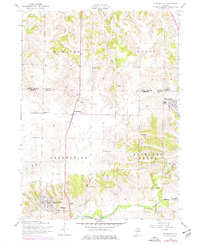
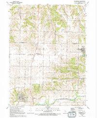
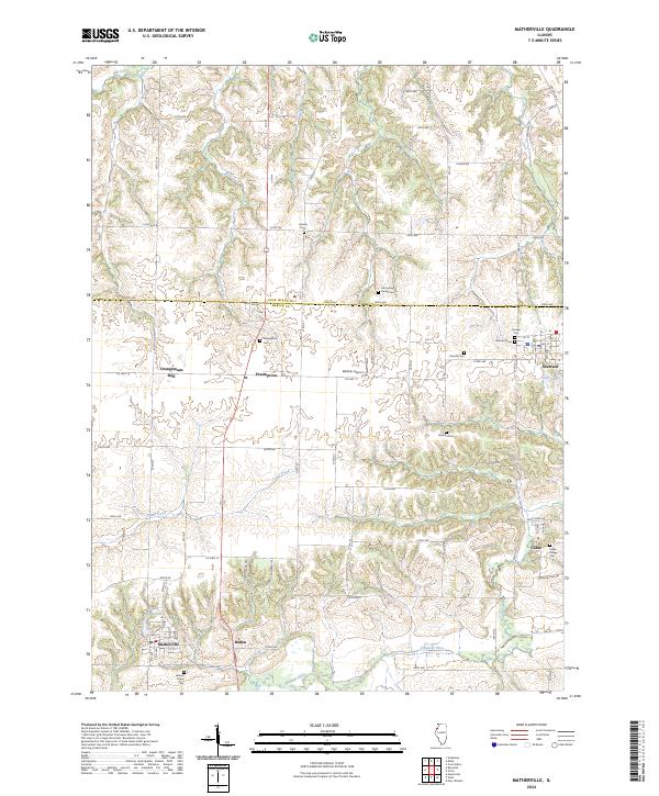
Edwards River meanders along the southern edge of this quadrangle, defining a landscape marked by the transition between Rock Island County and Mercer County. The agricultural tablelands are dotted with small settlements such as Preemption, Matherville, and Sherrard, connected by a network of rural routes including Co Hwy 17 and Co Hwy 15. The area is notably dense with small family and community burial grounds, including the Schoening Family Cem, Quaker Cem, and German Cem, which provide significant touchstones for local genealogy. Smaller watercourses like Camp Creek and Mill Creek cut through the terrain toward the river, while Lake Matherville and Karl Lake serve as localized landmarks. This contemporary survey preserves the exact placement of historic points like Orangemans Hall and the Weihler Airport, alongside the smaller hamlets of Boden and Cable.
Find a feature on this map
53 named features on this map. Tap any name to fly to it.
Don’t see what you’re looking for? This feature index may not catch every label — zoom into the map to look around manually.
Map Details
Editions of this 2024 Matherville Map
This is the sole edition of this map. No revisions or reprints were ever made.
Historical Maps of Preemption Through Time
7 maps found