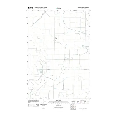
2011 Map of Mathews Corner
USGS Topo · Published 2011About this map
Mathews Corner serves as the central point of this agricultural landscape in Franklin County, defined by a rigid grid of roads and an extensive network of irrigation infrastructure. The Ringold Wasteway meanders through the terrain, a critical component of the regional water management system that transformed this arid portion of Washington into productive farmland. Large rural blocks are partitioned by major thoroughfares such as Taylor Flats Rd and Eltopia Rd, while residential developments like Country Haven Loop signal the gradual expansion of local settlements. This 2011 survey by the U.S. Geological Survey captures the area during a period of established industrial-scale farming, where family-named roads like N Bellevue Rd and N Dayton Rd mark the long-standing land ownership patterns of the region.
Find a feature on this map
42 named features on this map. Tap any name to fly to it.
Don’t see what you’re looking for? This feature index may not catch every label — zoom into the map to look around manually.
Map Details
Editions of this 2011 Mathews Corner Map
This is the sole edition of this map. No revisions or reprints were ever made.
Other maps of this area

1917 · Pasco
USGS Topo · 1:125,000

1924 · Hanford
USGS Topo · 1:62,500

1925 · Scooteney Lake
USGS Topo · 1:62,500

1951 · Scooteney Lake
USGS Topo · 1:62,500

1951 · Richland
USGS Topo · 1:62,500

1951 · Hanford
USGS Topo · 1:62,500

1953 · Walla Walla
USGS Topo · 1:250,000

1958 · Walla Walla
USGS Topo · 1:250,000

1965 · Mesa
USGS Topo · 1:62,500

1965 · Eltopia
USGS Topo · 1:62,500