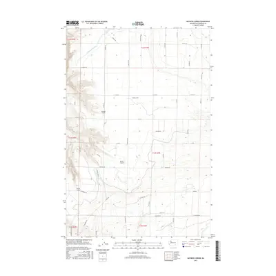
2017 Map of Mathews Corner
USGS Topo · Published 2017About this map
Mathews Corner serves as the central landmark for this portion of Franklin County, where the high plains of eastern Washington are defined by a strictly surveyed grid of agricultural access roads and deep drainage features. The landscape is marked by significant topographical relief, notably at Parsons Canyon, Baxter Canyon, and Rankin Canyon, which cut through the terrain toward the south and west. Water management is a visible priority for the region's farms, evidenced by the Ringold Wasteway in the northwest corner. The infrastructure here is heavily geared toward rural transit and irrigation, with a network of corridors like Ringold Rd, Taylor Flats Rd, and Eltopia Rd facilitating movement between the sprawling fields. This 2017 survey reflects the modern agricultural character of the Columbia Basin, showing the intersection of natural basalt-carved coulees and deliberate human land-use patterns.
Find a feature on this map
46 named features on this map. Tap any name to fly to it.
Don’t see what you’re looking for? This feature index may not catch every label — zoom into the map to look around manually.
Map Details
Editions of this 2017 Mathews Corner Map
This is the sole edition of this map. No revisions or reprints were ever made.
Other maps of this area

1917 · Pasco
USGS Topo · 1:125,000

1924 · Hanford
USGS Topo · 1:62,500

1925 · Scooteney Lake
USGS Topo · 1:62,500

1951 · Scooteney Lake
USGS Topo · 1:62,500

1951 · Richland
USGS Topo · 1:62,500

1951 · Hanford
USGS Topo · 1:62,500

1953 · Walla Walla
USGS Topo · 1:250,000

1958 · Walla Walla
USGS Topo · 1:250,000

1965 · Mesa
USGS Topo · 1:62,500

1965 · Eltopia
USGS Topo · 1:62,500