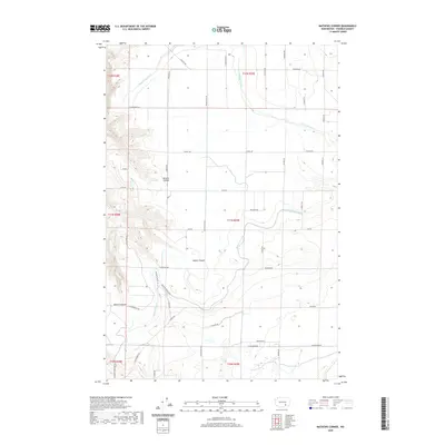
2020 Map of Mathews Corner
USGS Topo · Published 2020About this map
Potholes Canal defines the engineering and agricultural character of this Franklin County landscape, weaving through a series of natural depressions and canyons. This 2020 record of the region illustrates how irrigation infrastructure interacts with the dramatic topography of the Columbia Basin. The waterway winds south past Parsons Canyon and Baxter Canyon, highlighting the complex drainage patterns utilized by the Bureau of Reclamation's regional projects.
Find a feature on this map
37 named features on this map. Tap any name to fly to it.
Don’t see what you’re looking for? This feature index may not catch every label — zoom into the map to look around manually.
Map Details
Editions of this 2020 Mathews Corner Map
This is the sole edition of this map. No revisions or reprints were ever made.
Other maps of this area

1917 · Pasco
USGS Topo · 1:125,000

1924 · Hanford
USGS Topo · 1:62,500

1925 · Scooteney Lake
USGS Topo · 1:62,500

1951 · Scooteney Lake
USGS Topo · 1:62,500

1951 · Richland
USGS Topo · 1:62,500

1951 · Hanford
USGS Topo · 1:62,500

1953 · Walla Walla
USGS Topo · 1:250,000

1958 · Walla Walla
USGS Topo · 1:250,000

1965 · Mesa
USGS Topo · 1:62,500

1965 · Eltopia
USGS Topo · 1:62,500