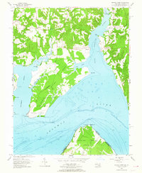
1954 Map of Mathias Point
USGS Topo · Published 1964About this map
Military reservations and rural riverfront settlements dominate this mid-century survey where the Port Tobacco River meets the Potomac River. The southern reaches of Charles County are defined by the sprawling Blossom Point Proving Grounds and the US Reservation Cedar Point, highlighting the Cold War era's defensive footprint along the Chesapeake's tributaries. Inland, the landscape is sparsely dotted with small communities like Welcome and McConchie, connected by winding roads that lead toward the tidal marshes of Nanjemoy Creek. Across the water, the prominent hook of Mathias Pt and the Mathias Point Neck reach into the Potomac, marking the boundary between Maryland and Virginia. This sheet captures a specific moment in the river's history, showing the positioning of lights, buoys, and landing points like Warehouse Pt and Chapel Point before more modern shoreline developments altered these historic tidewater reaches.
Find a feature on this map
40 named features on this map. Tap any name to fly to it.
Don’t see what you’re looking for? This feature index may not catch every label — zoom into the map to look around manually.
Map Details
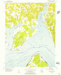
Editions of this 1954 Mathias Point Map
2 editions found
Other maps of this area

1889 · Fredericksburg
USGS Topo · 1:125,000

1890 · Mt. Vernon
USGS Topo · 1:125,000

1891 · Mt. Vernon
USGS Topo · 1:125,000

1892 · Fredericksburg
USGS Topo · 1:125,000

1892 · Brandywine
USGS Topo · 1:62,500

1894 · Wicomico
USGS Topo · 1:62,500

1894 · Fredericksburg
USGS Topo · 1:125,000

1894 · Mt. Vernon
USGS Topo · 1:125,000

1895 · Wicomico
USGS Topo · 1:62,500

1895 · Brandywine
USGS Topo · 1:62,500