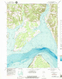
1968 Map of Mathias Point
USGS Topo · Published 1989About this map
Cedar Point Neck dominates this landscape, a prominent peninsula defined by the convergence of the Potomac River, Nanjemoy Creek, and the Port Tobacco River. During the late 1960s, this area of Charles County served as a significant site for federal research and defense, housing the U S Naval Research Laboratory and Harry Diamond Laboratories. The interior reflects a rural social fabric with small settlements such as Mcconchie, Welcome, and Hill Top, alongside spiritual centers like Zion Ch and The Welcome Mission. The map's bathymetric data reveals the complex underwater contours of the riverbeds, particularly around Upper Cedar Pt and Blossom Pt, where the deep channel of the Potomac creates a sharp contrast with the shallow coves of Gumtree Cove and Goose Creek.
Find a feature on this map
44 named features on this map. Tap any name to fly to it.
Don’t see what you’re looking for? This feature index may not catch every label — zoom into the map to look around manually.
Map Details
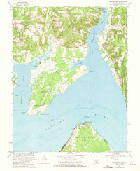
Editions of this 1968 Mathias Point Map
2 editions found
Other maps of this area

1889 · Fredericksburg
USGS Topo · 1:125,000

1890 · Mt. Vernon
USGS Topo · 1:125,000

1891 · Mt. Vernon
USGS Topo · 1:125,000

1892 · Fredericksburg
USGS Topo · 1:125,000

1892 · Brandywine
USGS Topo · 1:62,500

1894 · Wicomico
USGS Topo · 1:62,500

1894 · Fredericksburg
USGS Topo · 1:125,000

1894 · Mt. Vernon
USGS Topo · 1:125,000

1895 · Wicomico
USGS Topo · 1:62,500

1895 · Brandywine
USGS Topo · 1:62,500