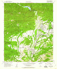
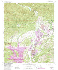
1952 Map of Matilija
USGS Topo · Published 1960About this map
Meiners Oaks and the surrounding Ojai Valley are captured in this mid-century survey as a transition between agricultural expansion and the foothills of the Los Padres National Forest. The landscape is dominated by the Ventura River and its many tributaries, including Matilija Creek and San Antonio Creek. Crucial water infrastructure of the era is evident at the Matilija Dam, while the presence of the Santa Ana Landing Strip and Oil Wells near Ex Mission San Buenaventura reflects the industrial and transportation needs of early 1950s Ventura County.
Find a feature on this map
62 named features on this map. Tap any name to fly to it.
Don’t see what you’re looking for? This feature index may not catch every label — zoom into the map to look around manually.
Map Details
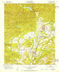
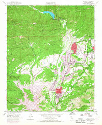
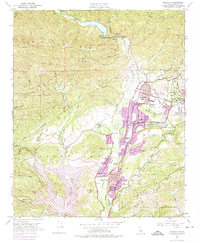
Editions of this 1952 Matilija Map
5 editions found
Other maps of this area

1903 · Santa Paula
USGS Topo · 1:62,500

1903 · Mt. Pinos
USGS Topo · 1:125,000

1904 · Ventura
USGS Topo · 1:62,500

1941 · Ventura
USGS Topo · 1:62,500

1942 · Santa Paula
USGS Topo · 1:62,500

1942 · Wheeler Springs
USGS Topo · 1:24,000

1943 · Old Man Mountain
USGS Topo · 1:24,000

1943 · Lion Canyon
USGS Topo · 1:24,000

1943 · Wheeler Springs
USGS Topo · 1:24,000
1944 · Wheeler Springs
USGS Topo · 1:31,680