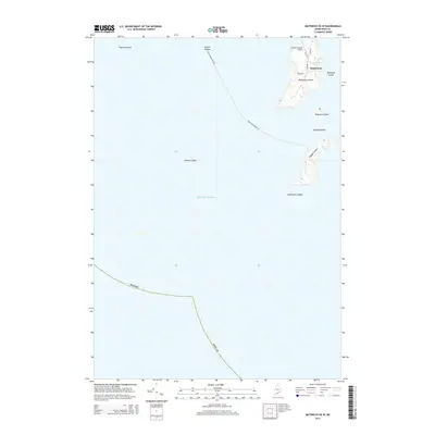
2014 Map of Matinicus OE W
USGS Topo · Published 2014About this map
Matinicus Island and its surrounding archipelago anchor this coastal survey, documenting the isolated character of Maine's outermost inhabited islands. The settlement of Matinicus occupies the northern reaches of the island, served by a modest network of local roads including Main Rd and Leach Rd. The map illustrates the vital maritime connection to the mainland via the Rockland-Ragged Fry route, which navigates past hazards like Foster Ledges and Bantam Ledge in the Atlantic Ocean.
Find a feature on this map
19 named features on this map. Tap any name to fly to it.
Don’t see what you’re looking for? This feature index may not catch every label — zoom into the map to look around manually.
Map Details
Editions of this 2014 Matinicus OE W Map
This is the sole edition of this map. No revisions or reprints were ever made.
Other maps of this area

1904 · Tenants Harbor
USGS Topo · 1:62,500

1906 · Matinicus
USGS Topo · 1:62,500

1906 · Tennant Harbor
USGS Topo · 1:62,500

1948 · Bath
USGS Topo · 1:250,000
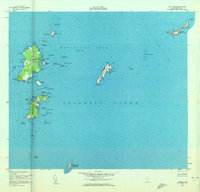
1953 · Matinicus
USGS Topo · 1:24,000
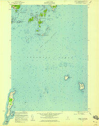
1955 · Hewett Island
USGS Topo · 1:24,000

1956 · Bath
USGS Topo · 1:250,000

1957 · Bath
USGS Topo · 1:250,000

1958 · Bath
USGS Topo · 1:250,000

1963 · Bath
USGS Topo · 1:250,000
Featured Places
- Matinicus Isle, Matinicus Isle Plantation
- Matinicus Isle Plantation, ME
- Criehaven Township, ME
- Knox County, ME
- United States