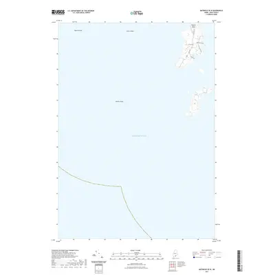
2021 Map of Matinicus OE W
USGS Topo · Published 2021About this map
Atlantic Ocean waters surround the remote western coastal fringes of Matinicus Isle, where the landscape is defined by its maritime isolation and small-scale infrastructure. The land area shown is dominated by the northern tip of the island, serving as a hub for local transit via the Matinicus Island Airport. A tight network of local roads including Leach Rd, W Side Rd, and Harbor Point Rd provides access to the shoreline and residential pockets. Beyond the inhabited edges, the seafloor and surface are marked by named navigational hazards and fishing grounds such as Pigeon Ground, Foster Ledges, and Bantam Ledge. This survey illustrates the limited terrestrial footprint of the plantation, where paths like the Burr Path and roads like Shag Hollow Rd connect the interior to the rocky coast.
Find a feature on this map
11 named features on this map. Tap any name to fly to it.
Don’t see what you’re looking for? This feature index may not catch every label — zoom into the map to look around manually.
Map Details
Editions of this 2021 Matinicus OE W Map
This is the sole edition of this map. No revisions or reprints were ever made.
Other maps of this area

1904 · Tenants Harbor
USGS Topo · 1:62,500

1906 · Matinicus
USGS Topo · 1:62,500

1906 · Tennant Harbor
USGS Topo · 1:62,500

1948 · Bath
USGS Topo · 1:250,000
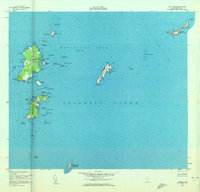
1953 · Matinicus
USGS Topo · 1:24,000
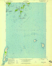
1955 · Hewett Island
USGS Topo · 1:24,000

1956 · Bath
USGS Topo · 1:250,000

1957 · Bath
USGS Topo · 1:250,000

1958 · Bath
USGS Topo · 1:250,000

1963 · Bath
USGS Topo · 1:250,000
Featured Places
- Matinicus Isle, Matinicus Isle Plantation
- Matinicus Isle Plantation, ME
- Criehaven Township, ME
- Knox County, ME
- United States