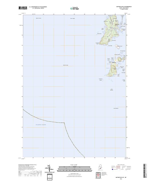
2024 Map of Matinicus OE W
USGS Topo · Published 2024About this map
Matinicus Island and its smaller neighbor, Ragged Island, represent some of the most remote outposts of coastal Maine life. This modern survey illustrates the enduring settlement at Matinicus, where local navigation centers on Matinicus Harbor and the vital Everett Libby Ferry link to the mainland. The landscape is a network of named coves and granite points, from Pasture Cove in the north to Southwest Point in the south. On Ragged Island, the community of Criehaven occupies a secluded position, defined by features like Wilson Head and Deep Cove. The map detail shows the essential infrastructure of these island communities, including the Matinicus Island Airport and the local road system of Main Rd and Harbor Point Rd that connects the isolated homesteads and shores.
Find a feature on this map
64 named features on this map. Tap any name to fly to it.
Don’t see what you’re looking for? This feature index may not catch every label — zoom into the map to look around manually.
Map Details
Editions of this 2024 Matinicus OE W Map
This is the sole edition of this map. No revisions or reprints were ever made.
Other maps of this area

1904 · Tenants Harbor
USGS Topo · 1:62,500

1906 · Matinicus
USGS Topo · 1:62,500

1906 · Tennant Harbor
USGS Topo · 1:62,500

1948 · Bath
USGS Topo · 1:250,000
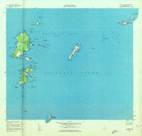
1953 · Matinicus
USGS Topo · 1:24,000
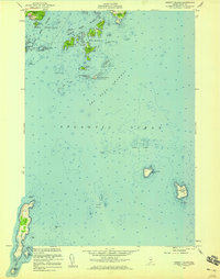
1955 · Hewett Island
USGS Topo · 1:24,000

1956 · Bath
USGS Topo · 1:250,000

1957 · Bath
USGS Topo · 1:250,000

1958 · Bath
USGS Topo · 1:250,000

1963 · Bath
USGS Topo · 1:250,000
Featured Places
- Matinicus Isle Plantation, ME
- Matinicus Isle, Matinicus Isle Plantation
- Criehaven Township, ME
- Knox County, ME
- United States