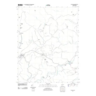
2011 Map of Matoaka
USGS Topo · Published 2011About this map
Matoaka and Lashmeet serve as central hubs in this corner of Mercer County, where the coal heritage of the region is etched into the landscape. The presence of the Turkey Gap Mine Refuse Dump Dam near Dott and the evocative name of Smokeless reflect the industrial legacy of the Widemouth Creek drainage. Several post offices, including those at Beeson, Springton, and Hiawatha, indicate a network of small, established communities connected by winding ridge roads like Stovall Ridge and Nubbin Ridge.
Find a feature on this map
98 named features on this map. Tap any name to fly to it.
Don’t see what you’re looking for? This feature index may not catch every label — zoom into the map to look around manually.
Map Details
Editions of this 2011 Matoaka Map
This is the sole edition of this map. No revisions or reprints were ever made.
Other maps of this area

1887 · Pocahontas
USGS Topo · 1:125,000

1891 · Pocahontas
USGS Topo · 1:125,000

1891 · Raleigh
USGS Topo · 1:125,000

1894 · Pocahontas
USGS Topo · 1:125,000

1895 · Pocahontas
USGS Topo · 1:125,000

1897 · Raleigh
USGS Topo · 1:125,000

1902 · Raleigh
USGS Topo · 1:125,000

1909 · Pocahontas Special
USGS Topo · 1:48,000

1911 · Flattop
USGS Topo · 1:48,000

1911 · Pocahontas Special
USGS Topo · 1:62,500