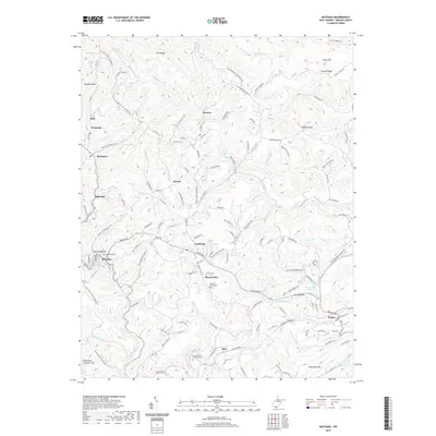
2019 Map of Matoaka
USGS Topo · Published 2019About this map
Matoaka and Lashmeet anchor this section of Mercer County, where the narrow valleys and steep ridges of the West Virginia coalfields have long shaped the pattern of human settlement. The landscape is defined by the winding course of the Bluestone River and its numerous tributaries, including Widemouth Cr and Rich Cr. This 2019 survey documents a network of rural communities such as Beeson, Pinoak, and Hiawatha, many of which developed around the region's historical industrial activities. Genealogists and local historians will find several well-documented burial sites throughout the terrain, including Saint Peters Lutheran Cem, Mount Olive Cem, and Ross Cem. The presence of the Norfolk Southern rail line and specific local thoroughfares like Old Strip Mine Haul Rd and Matoaka Rd highlight the enduring logistical infrastructure of the southern Appalachians.
Find a feature on this map
123 named features on this map. Tap any name to fly to it.
Don’t see what you’re looking for? This feature index may not catch every label — zoom into the map to look around manually.
Map Details
Editions of this 2019 Matoaka Map
This is the sole edition of this map. No revisions or reprints were ever made.
Other maps of this area

1887 · Pocahontas
USGS Topo · 1:125,000

1891 · Pocahontas
USGS Topo · 1:125,000

1891 · Raleigh
USGS Topo · 1:125,000

1894 · Pocahontas
USGS Topo · 1:125,000

1895 · Pocahontas
USGS Topo · 1:125,000

1897 · Raleigh
USGS Topo · 1:125,000

1902 · Raleigh
USGS Topo · 1:125,000

1909 · Pocahontas Special
USGS Topo · 1:48,000

1911 · Flattop
USGS Topo · 1:48,000

1911 · Pocahontas Special
USGS Topo · 1:62,500