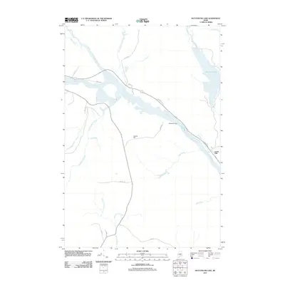
2011 Map of Mattaseunk Lake
USGS Topo · Published 2011About this map
The Penobscot River winds through this Maine landscape, serving as the central axis for a region defined by its water systems and timber heritage. At the river's bend, the Mattaseunk Dam regulates the flow near the settlement of Jordan Mills, reflecting the historical intersection of industrial utility and natural resources. To the east, the expansive Mattaseunk Lake is fed by Wyman Brook and Carlton Brook, while the western terrain is marked by a dense network of tributaries including Salmon Stream, Pattagumpus Stream, and Ebhorse Stream. These waterways converge from the slopes of Kimble Hill and the surrounding woodlands. The map traces local connectivity through roads like Dickey Rd and Old Route 157, illustrating how human infrastructure follows the contours of the river valley and its primary streams.
Find a feature on this map
30 named features on this map. Tap any name to fly to it.
Don’t see what you’re looking for? This feature index may not catch every label — zoom into the map to look around manually.
Map Details
Editions of this 2011 Mattaseunk Lake Map
This is the sole edition of this map. No revisions or reprints were ever made.
Other maps of this area

1920 · Winn
USGS Topo · 1:62,500

1940 · Mattawamkeag
USGS Topo · 1:62,500

1942 · Lincoln
USGS Topo · 1:62,500

1942 · Mattawamkeag
USGS Topo · 1:62,500

1951 · Millinocket
USGS Topo · 1:62,500

1954 · Millinocket
USGS Topo · 1:250,000

1957 · Lincoln
USGS Topo · 1:62,500

1958 · Millinocket
USGS Topo · 1:250,000

1960 · Millinocket
USGS Topo · 1:250,000
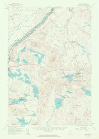
1960 · Winn
USGS Topo · 1:62,500