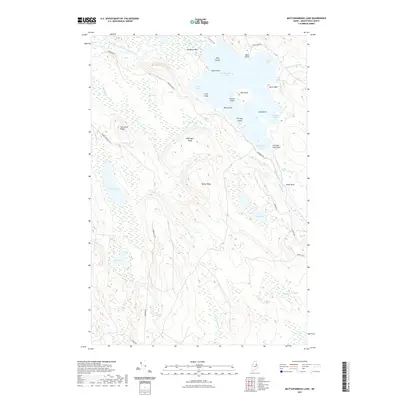
2021 Map of Mattawamkeag Lake
USGS Topo · Published 2021About this map
Mattawamkeag Lake dominates this Aroostook County landscape, defined by an intricate network of bogs, secondary water bodies, and points of land. The West Branch Mattawamkeag River enters the lake via The Thorofare, navigating past Mosquito Point and Bug Island. This area of Maine is characterized by timber-industry roads and isolated natural landmarks that carry names of local significance, such as Hamiltons Mistake and Devils Wall.
Find a feature on this map
45 named features on this map. Tap any name to fly to it.
Don’t see what you’re looking for? This feature index may not catch every label — zoom into the map to look around manually.
Map Details
Editions of this 2021 Mattawamkeag Lake Map
This is the sole edition of this map. No revisions or reprints were ever made.
Other maps of this area

1937 · Smyrna Mills
USGS Topo · 1:62,500

1940 · Island Falls
USGS Topo · 1:62,500

1940 · Sherman
USGS Topo · 1:62,500

1941 · Mattawamkeag Lake
USGS Topo · 1:62,500

1942 · Island Falls
USGS Topo · 1:62,500

1942 · Sherman
USGS Topo · 1:62,500

1943 · Mattawamkeag Lake
USGS Topo · 1:62,500

1954 · Presque Isle
USGS Topo · 1:250,000

1954 · Millinocket
USGS Topo · 1:250,000

1955 · Smyrna Mills
USGS Topo · 1:62,500