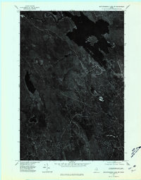
1975 Map of Mattawamkeag Lake NW
USGS Topo · Published 1980About this map
The Mattawamkeag River meanders through the northern reaches of this orthophotograph, captured during a 1975 aerial survey of the Maine wilderness. Unlike traditional topographic maps, this imagery-based study reveals the raw texture of the timberlands and the complex hydrology of the region without the filter of symbolic abstraction. The West Branch joins the primary river system amidst dense forest cover, while Sly Brook carves a narrow path through the southern terrain. This perspective is particularly valuable for understanding the natural drainage patterns and the undisturbed shoreline of Mud Lake before later developments. The variations in canopy density and visible water levels provide a literal record of the Aroostook County landscape during the mid-1970s, offering researchers a clear look at the state of the north woods timber environment.
Find a feature on this map
4 named features on this map. Tap any name to fly to it.
Don’t see what you’re looking for? This feature index may not catch every label — zoom into the map to look around manually.
Map Details
Editions of this 1975 Mattawamkeag Lake NW Map
This is the sole edition of this map. No revisions or reprints were ever made.
Other maps of this area

1937 · Smyrna Mills
USGS Topo · 1:62,500

1940 · Island Falls
USGS Topo · 1:62,500

1940 · Sherman
USGS Topo · 1:62,500

1941 · Mattawamkeag Lake
USGS Topo · 1:62,500

1942 · Island Falls
USGS Topo · 1:62,500

1942 · Sherman
USGS Topo · 1:62,500

1943 · Mattawamkeag Lake
USGS Topo · 1:62,500

1954 · Presque Isle
USGS Topo · 1:250,000

1954 · Millinocket
USGS Topo · 1:250,000

1955 · Smyrna Mills
USGS Topo · 1:62,500