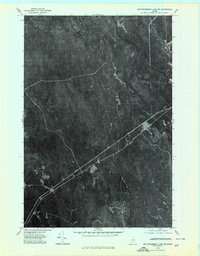
1975 Map of Mattawamkeag Lake SE
USGS Topo · Published 1980About this map
Glenwood anchors the southwestern portion of this 1975 orthophotoquad, which reveals a landscape dominated by the dense commercial timberlands of Aroostook County. The imagery provides a clear look at the drainage patterns of the West Branch Mattawamkeag River and East Branch Mattawamkeag River as they converge in the northern sector. Unlike a standard topographic line drawing, this aerial perspective allows for the direct observation of forest management practices, including the intricate network of logging roads and clearings that bypass traditional settlement patterns. Narrower watercourses like Babcock Brook and Alder Brook cut through the heavy cover, tracing the natural hydrology of this heavily wooded territory during the mid-1970s.
Find a feature on this map
5 named features on this map. Tap any name to fly to it.
Don’t see what you’re looking for? This feature index may not catch every label — zoom into the map to look around manually.
Map Details
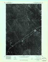
Editions of this 1975 Mattawamkeag Lake SE Map
2 editions found
Other maps of this area

1940 · Danforth
USGS Topo · 1:62,500

1940 · Amity
USGS Topo · 1:62,500

1941 · Danforth
USGS Topo · 1:62,500

1941 · Amity
USGS Topo · 1:62,500

1941 · Mattawamkeag Lake
USGS Topo · 1:62,500

1941 · Wytopitlock
USGS Topo · 1:62,500

1943 · Danforth
USGS Topo · 1:62,500

1943 · Wytopitlock
USGS Topo · 1:62,500

1943 · Amity
USGS Topo · 1:62,500

1943 · Mattawamkeag Lake
USGS Topo · 1:62,500