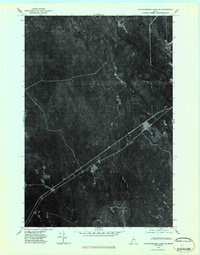
1975 Map of Mattawamkeag Lake SE
USGS Topo · Published 1984About this map
The timberlands of southern Aroostook County are captured in this mid-1970s orthophotoquad, showing a landscape defined by industrial logging roads and winding waterways. The settlement of Glenwood sits near the junction of several access routes, serving as a rare pocket of habitation in a territory primarily utilized for forest resources. The hydrology of the region is centered on the confluence of the West Branch Mattawamkeag River and the East Branch Mattawamkeag River, which snake through the dense cover in the northeast. Smaller drainages like Babcock Brook and Alder Brook feed into this system, carving through a terrain marked by the distinct patterns of clearings and regrowth typical of Maine's working forests. This imagery provides a precise visual record of the forest's composition and the footprint of the 20th-century logging industry before modern digital mapping changed how these tracts were managed.
Find a feature on this map
5 named features on this map. Tap any name to fly to it.
Don’t see what you’re looking for? This feature index may not catch every label — zoom into the map to look around manually.
Map Details
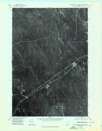
Editions of this 1975 Mattawamkeag Lake SE Map
2 editions found
Other maps of this area

1940 · Danforth
USGS Topo · 1:62,500

1940 · Amity
USGS Topo · 1:62,500

1941 · Danforth
USGS Topo · 1:62,500

1941 · Amity
USGS Topo · 1:62,500

1941 · Mattawamkeag Lake
USGS Topo · 1:62,500

1941 · Wytopitlock
USGS Topo · 1:62,500

1943 · Danforth
USGS Topo · 1:62,500

1943 · Wytopitlock
USGS Topo · 1:62,500

1943 · Amity
USGS Topo · 1:62,500

1943 · Mattawamkeag Lake
USGS Topo · 1:62,500