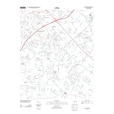
2013 Map of Matthews
USGS Topo · Published 2013About this map
Wesley Chapel and the surrounding residential developments characterize this suburban corridor southeast of Charlotte in the early 21st century. The landscape is defined by the branching tributaries of the Catawba and Yadkin-Pee Dee basins, including W Fork Twelvemile Cr and Price Mill Cr, which carve through established neighborhoods like Wellington Woods and Southminister Woods.
Find a feature on this map
49 named features on this map. Tap any name to fly to it.
Don’t see what you’re looking for? This feature index may not catch every label — zoom into the map to look around manually.
Map Details
Editions of this 2013 Matthews Map
This is the sole edition of this map. No revisions or reprints were ever made.
Other maps of this area

1905 · Charlotte
USGS Topo · 1:48,000

1907 · Charlotte
USGS Topo · 1:62,500

1941 · Charlotte
USGS Topo · 1:125,000

1941 · Spartanburg
USGS Topo · 1:250,000

1942 · Charlotte
USGS Topo · 1:125,000

1948 · Charlotte East
USGS Topo · 1:24,000

1949 · Charlotte East
USGS Topo · 1:24,000

1949 · Wilgrove
USGS Topo · 1:24,000

1949 · Midland
USGS Topo · 1:24,000

1953 · Spartanburg
USGS Topo · 1:250,000