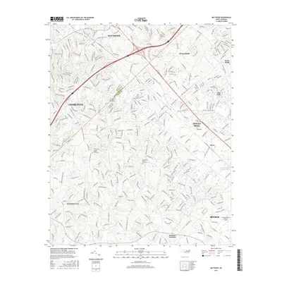
2016 Map of Matthews
USGS Topo · Published 2016About this map
Matthews and Indian Trail anchor this 2016 survey of the rapidly growing suburban landscape southeast of Charlotte. The map details the residential and commercial expansion spanning the Mecklenburg Co and Union Co border, following the corridors of E Independence Blvd and the Matthews Indian Trail Rd. Local heritage remains visible in the numerous country churches and associated burial grounds, such as Mount Harmony Church Cem and Antioch Baptist Church Cem.
Find a feature on this map
44 named features on this map. Tap any name to fly to it.
Don’t see what you’re looking for? This feature index may not catch every label — zoom into the map to look around manually.
Map Details
Editions of this 2016 Matthews Map
This is the sole edition of this map. No revisions or reprints were ever made.
Other maps of this area

1905 · Charlotte
USGS Topo · 1:48,000

1907 · Charlotte
USGS Topo · 1:62,500

1941 · Charlotte
USGS Topo · 1:125,000

1941 · Spartanburg
USGS Topo · 1:250,000

1942 · Charlotte
USGS Topo · 1:125,000

1948 · Charlotte East
USGS Topo · 1:24,000

1949 · Charlotte East
USGS Topo · 1:24,000

1949 · Wilgrove
USGS Topo · 1:24,000

1949 · Midland
USGS Topo · 1:24,000

1953 · Spartanburg
USGS Topo · 1:250,000