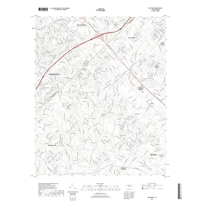
2019 Map of Matthews
USGS Topo · Published 2019About this map
Matthews and the surrounding suburban landscape of the Mecklenburg and Union County line are detailed in this 2019 survey. The area is defined by a dense network of residential development and commercial corridors along E Independence Blvd and Old Hwy 74. Despite the modern growth of Charlotte and Stallings, the map preserves significant genealogical landmarks, particularly the numerous historic denominational burial grounds such as Mount Harmony Church Cem and Pleasant Plains Baptist Church Cem.
Find a feature on this map
38 named features on this map. Tap any name to fly to it.
Don’t see what you’re looking for? This feature index may not catch every label — zoom into the map to look around manually.
Map Details
Editions of this 2019 Matthews Map
This is the sole edition of this map. No revisions or reprints were ever made.
Other maps of this area

1905 · Charlotte
USGS Topo · 1:48,000

1907 · Charlotte
USGS Topo · 1:62,500

1941 · Charlotte
USGS Topo · 1:125,000

1941 · Spartanburg
USGS Topo · 1:250,000

1942 · Charlotte
USGS Topo · 1:125,000

1948 · Charlotte East
USGS Topo · 1:24,000

1949 · Charlotte East
USGS Topo · 1:24,000

1949 · Wilgrove
USGS Topo · 1:24,000

1949 · Midland
USGS Topo · 1:24,000

1953 · Spartanburg
USGS Topo · 1:250,000