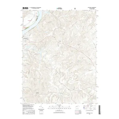
2016 Map of Mattingly
USGS Topo · Published 2016About this map
Cloverport sits along the southern bank of the Ohio River, where the Clover Creek drainage system defines the landscape of northwestern Breckinridge County. This area, just across the state line from Indiana, is characterized by its high concentration of family and community burial grounds, including Calvary Cem, Chapin Cem, and Pate Cem. The terrain rises from the river flats toward interior features like Iron Ore Hill, which hints at the region's geological and industrial history. Further south, the settlement of Mattingly serves as a local hub near the winding Beech Fork and Little Beech Fork waterways. The map illustrates a network of rural roads such as Persimon Flats Rd and Dunn Duncan Rd, tracing the movement of people and commerce through these creek valleys and uplands.
Find a feature on this map
67 named features on this map. Tap any name to fly to it.
Don’t see what you’re looking for? This feature index may not catch every label — zoom into the map to look around manually.
Map Details
Editions of this 2016 Mattingly Map
This is the sole edition of this map. No revisions or reprints were ever made.
Other maps of this area

1928 · Hardinsburg
USGS Topo · 1:48,000

1931 · Hardinsburg
USGS Topo · 1:62,500

1932 · Fordsville
USGS Topo · 1:62,500

1934 · Cannelton
USGS Topo · 1:62,500

1947 · Lodiburg
USGS Topo · 1:24,000

1947 · Hardinsburg
USGS Topo · 1:24,000

1947 · Hardinsburg
USGS Topo · 1:62,500

1949 · Cannelton
USGS Topo · 1:24,000

1953 · Cannelton
USGS Topo · 1:24,000

1953 · Hardinsburg
USGS Topo · 1:24,000