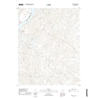
2019 Map of Mattingly
USGS Topo · Published 2019About this map
Cloverport sits prominently at a bend in the Ohio River, where the state boundary separates Kentucky from Indiana at Carters Landing Bar. This 2019 survey documents a landscape of deeply dissected plateaus and hollows, characteristic of the borderlands between the two states. Moving inland from the river, the terrain rises toward Persimmon Flats and the prominent Iron Ore Hill, showing a rural layout defined by family-named cemeteries and narrow winding roads. The map reveals a dense network of local history through burial sites such as Calvary Cem, Chapin Cem, and Pate Cem. Further south, the settlement of Mattingly anchors an area of flatter terrain known as Mattingly Flats, where the headwaters of Shot Pouch Cr and Caney Fork begin their drainage. The concentration of small, family-named landmarks like Hawkins Cem and Taul Cem suggests a long-established community structure that persisted into the twenty-first century.
Find a feature on this map
56 named features on this map. Tap any name to fly to it.
Don’t see what you’re looking for? This feature index may not catch every label — zoom into the map to look around manually.
Map Details
Editions of this 2019 Mattingly Map
This is the sole edition of this map. No revisions or reprints were ever made.
Other maps of this area

1928 · Hardinsburg
USGS Topo · 1:48,000

1931 · Hardinsburg
USGS Topo · 1:62,500

1932 · Fordsville
USGS Topo · 1:62,500

1934 · Cannelton
USGS Topo · 1:62,500

1947 · Lodiburg
USGS Topo · 1:24,000

1947 · Hardinsburg
USGS Topo · 1:24,000

1947 · Hardinsburg
USGS Topo · 1:62,500

1949 · Cannelton
USGS Topo · 1:24,000

1953 · Cannelton
USGS Topo · 1:24,000

1953 · Hardinsburg
USGS Topo · 1:24,000