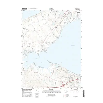
2016 Map of Mattituck
USGS Topo · Published 2016About this map
Great Peconic Bay and Flanders Bay dominate this coastal landscape, creating a distinct geography of narrow peninsulas and sheltered inlets. The northern half of the map reveals the agrarian and maritime roots of the North Fork, centered on Mattituck and Cutchogue. Here, the land is marked by Marratooka Pond and the Mattituck Airport, with local history preserved in sites like the Mattituck Presbyterian Cem. The terrain transitions from the elevations of Jacobs Hill down to the shoreline at Brushs Point.
Find a feature on this map
67 named features on this map. Tap any name to fly to it.
Don’t see what you’re looking for? This feature index may not catch every label — zoom into the map to look around manually.
Map Details
Editions of this 2016 Mattituck Map
This is the sole edition of this map. No revisions or reprints were ever made.
Other maps of this area

1903 · Sag Harbor
USGS Topo · 1:62,500

1903 · Riverhead
USGS Topo · 1:62,500

1904 · Sag Harbor
USGS Topo · 1:62,500

1904 · Shelter Island
USGS Topo · 1:62,500

1904 · Riverhead
USGS Topo · 1:62,500

1943 · Riverhead
USGS Topo · 1:62,500

1947 · Mattituck
USGS Topo · 1:24,000

1947 · Mattituck Hills
USGS Topo · 1:24,000

1947 · Southold
USGS Topo · 1:24,000

1947 · Southampton
USGS Topo · 1:24,000