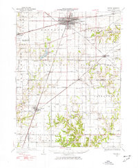
1934 Map of Mattoon
USGS Topo · Published 1977About this map
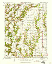
The railroad hub of Mattoon serves as a central anchor in this 1930s landscape, where the Illinois Central and New York Central lines intersect amidst a dense grid of rural schools and family cemeteries. The southern portion of the city gives way to the newly established Lake Mattoon, which features a State Fish Hatchery near its northern banks. The surrounding countryside in Paradise and Pleasant Grove townships is marked by an exceptional density of one-room schoolhouses, including Mound Sch, South Loxa Sch, and Dixie Sch, reflecting the peak of the district school system before mid-century consolidation.
Find a feature on this map
107 named features on this map. Tap any name to fly to it.
Don’t see what you’re looking for? This feature index may not catch every label — zoom into the map to look around manually.
Map Details
Editions of this 1934 Mattoon Map
2 editions found
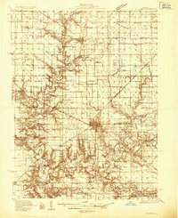
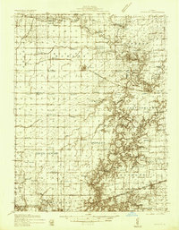
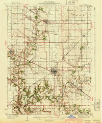
Other maps of this area

1933 · Toledo
USGS Topo · 1:62,500

1934 · Mattoon
USGS Topo · 1:62,500

1935 · Arcola
USGS Topo · 1:48,000
1935 · Sullivan
USGS Topo · 1:48,000
1936 · Oakland
USGS Topo · 1:48,000

1937 · Mattoon
USGS Topo · 1:62,500

1938 · Toledo
USGS Topo · 1:62,500
1940 · Sullivan
USGS Topo · 1:62,500

1940 · Arcola
USGS Topo · 1:62,500
1940 · Greenup
USGS Topo · 1:62,500