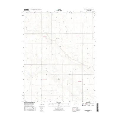
2015 Map of Mattox Draw NW
USGS Topo · Published 2015About this map
Mattox Draw and James Draw carve a distinct drainage pattern through this high plains landscape of Kearny County. The terrain is organized by a precise grid of county roads, including Co Rd E, Co Rd H, and the aptly named Field Rd, reflecting the region's agricultural heritage and systematic land division. In the northern reaches of the quadrangle, Fairview Cem stands as a quiet landmark for local genealogical research, positioned along Rd 360. This 2015 survey illustrates how contemporary Kansas land use remains deeply tied to the original Public Land Survey System boundaries, such as those of t21s r38w and t21s r37w. The map provides a clear view of the sparse, functional infrastructure necessary for managing these expansive Western Kansas fields.
Find a feature on this map
23 named features on this map. Tap any name to fly to it.
Don’t see what you’re looking for? This feature index may not catch every label — zoom into the map to look around manually.
Map Details
Editions of this 2015 Mattox Draw NW Map
This is the sole edition of this map. No revisions or reprints were ever made.
Other maps of this area

1955 · Scott City
USGS Topo · 1:250,000

1958 · Scott City
USGS Topo · 1:250,000

1965 · Leoti 3 NW
USGS Topo · 1:24,000

1965 · Leoti 3 NE
USGS Topo · 1:24,000
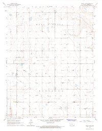
1966 · Leoti 3 SW
USGS Topo · 1:24,000
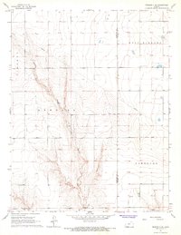
1966 · Tribune 4 SE
USGS Topo · 1:24,000

1966 · Tribune 4 NE
USGS Topo · 1:24,000
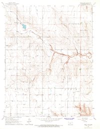
1966 · Leoti 3 SE
USGS Topo · 1:24,000

1970 · Selkirk SE
USGS Topo · 1:24,000

1970 · Lydia
USGS Topo · 1:24,000