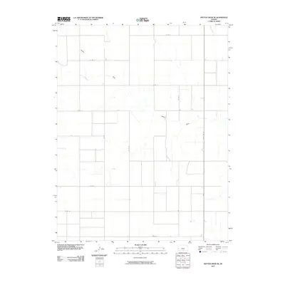
2010 Map of Mattox Draw SE
USGS Topo · Published 2010About this map
Mattox Draw winds through the high plains of western Kansas, carving a subtle drainage pattern across this agricultural landscape. The area is defined by a rigid section-line road network, anchored by the north-south corridor of State Hwy 25. This 2010 survey illustrates the systematic division of land characteristic of the Great Plains, where the grid of county roads—including Co Rd 11, Co Rd L, and Co Rd 19—dictates the movement of people and equipment between vast fields. The relative lack of structural labels reflects a modern era of large-scale farming where traditional farmsteads have often consolidated, leaving the natural drainage of the draw as the primary geographic landmark in a sea of organized cultivation.
Find a feature on this map
12 named features on this map. Tap any name to fly to it.
Don’t see what you’re looking for? This feature index may not catch every label — zoom into the map to look around manually.
Map Details
Editions of this 2010 Mattox Draw SE Map
This is the sole edition of this map. No revisions or reprints were ever made.
Other maps of this area

1891 · Larned
USGS Topo · 1:125,000

1900 · Lakin
USGS Topo · 1:125,000

1955 · Dodge City
USGS Topo · 1:250,000

1955 · Scott City
USGS Topo · 1:250,000

1958 · Dodge City
USGS Topo · 1:250,000

1958 · Scott City
USGS Topo · 1:250,000

1959 · Dodge City
USGS Topo · 1:250,000

1960 · Deerfield
USGS Topo · 1:24,000

1965 · Leoti 3 NW
USGS Topo · 1:24,000

1965 · Leoti 3 NE
USGS Topo · 1:24,000