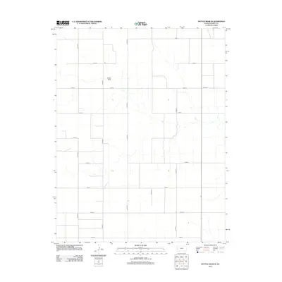
2012 Map of Mattox Draw SE
USGS Topo · Published 2012About this map
Mattox Draw defines the drainage pattern of this Kearny County landscape, winding through a highly structured grid of section-line roads. The territory is characterized by its organized agricultural layout, with a sequence of north-south arteries including Co Road K, Co Road L, and Co ROAD M. This 2012 survey by the U.S. Geological Survey reflects a region of High Plains farming where the primary transportation network follows rigid county road designations such as Co Rd-11 and Co Hwy-13. For those studying land use and local geography in western Kansas, the map illustrates the precise intersection of natural watercourses like the draw with the human-imposed geometric order of the rural road system.
Find a feature on this map
16 named features on this map. Tap any name to fly to it.
Don’t see what you’re looking for? This feature index may not catch every label — zoom into the map to look around manually.
Map Details
Editions of this 2012 Mattox Draw SE Map
This is the sole edition of this map. No revisions or reprints were ever made.
Other maps of this area

1891 · Larned
USGS Topo · 1:125,000

1900 · Lakin
USGS Topo · 1:125,000

1955 · Dodge City
USGS Topo · 1:250,000

1955 · Scott City
USGS Topo · 1:250,000

1958 · Dodge City
USGS Topo · 1:250,000

1958 · Scott City
USGS Topo · 1:250,000

1959 · Dodge City
USGS Topo · 1:250,000

1960 · Deerfield
USGS Topo · 1:24,000

1965 · Leoti 3 NW
USGS Topo · 1:24,000

1965 · Leoti 3 NE
USGS Topo · 1:24,000