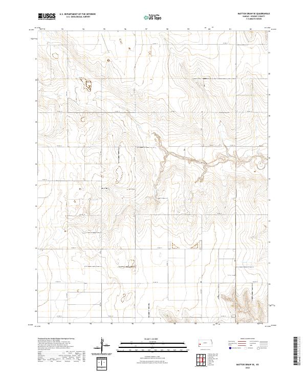
2022 Map of Mattox Draw SE
USGS Topo · Published 2022About this map
Mattox Draw snakes across this high plains landscape in Kearny County, defining the primary drainage pattern of the region. The map captures the highly organized section-line grid system characteristic of the American West, where a network of county roads like Co Rd 11, Co Rd 14, and Co Rd 18 provides access across vast agricultural and grazing lands. This survey highlights the intersection of natural topography and human geometry, where routes such as Rd 240 and Co Rd M navigate the gentle elevation changes. Genealogists and local historians can trace property boundaries within the townships of t22s r36w and t23s r37w, where the sparse placement of structures and the rigid road network reflect the low-density rural character of this Kansas territory.
Find a feature on this map
22 named features on this map. Tap any name to fly to it.
Don’t see what you’re looking for? This feature index may not catch every label — zoom into the map to look around manually.
Map Details
Editions of this 2022 Mattox Draw SE Map
This is the sole edition of this map. No revisions or reprints were ever made.
Other maps of this area

1891 · Larned
USGS Topo · 1:125,000

1900 · Lakin
USGS Topo · 1:125,000

1955 · Dodge City
USGS Topo · 1:250,000

1955 · Scott City
USGS Topo · 1:250,000

1958 · Dodge City
USGS Topo · 1:250,000

1958 · Scott City
USGS Topo · 1:250,000

1959 · Dodge City
USGS Topo · 1:250,000

1960 · Deerfield
USGS Topo · 1:24,000

1965 · Leoti 3 NW
USGS Topo · 1:24,000

1965 · Leoti 3 NE
USGS Topo · 1:24,000