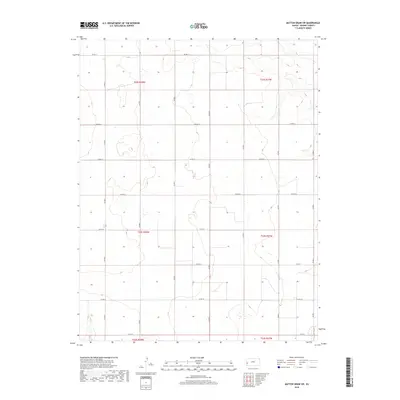
2018 Map of Mattox Draw SW
USGS Topo · Published 2018About this map
The High Plains landscape of Kearny County is defined by a rigorous grid of section lines and gravel roads, including Co Rd 11 and Co Rd 19. This 2018 survey reveals the persistent agricultural geometry of western Kansas, where the township and range system dictates the placement of every thoroughfare. The terrain is marked by subtle depressions and ephemeral drainage patterns typical of the region, captured in this USGS study. Notable north-south arteries like Co Rd D, Co Rd F, and Co Rd J bisect the open country, providing access to vast tracts of land organized under designations such as t23s r38w. The absence of named settlements highlights the area's rural character and its reliance on this extensive network of county roads for connectivity.
Find a feature on this map
21 named features on this map. Tap any name to fly to it.
Don’t see what you’re looking for? This feature index may not catch every label — zoom into the map to look around manually.
Map Details
Editions of this 2018 Mattox Draw SW Map
This is the sole edition of this map. No revisions or reprints were ever made.
Other maps of this area

1891 · Larned
USGS Topo · 1:125,000

1900 · Syracuse
USGS Topo · 1:125,000

1900 · Lakin
USGS Topo · 1:125,000

1920 · Syracuse
USGS Topo · 1:125,000

1955 · Dodge City
USGS Topo · 1:250,000

1955 · Scott City
USGS Topo · 1:250,000

1958 · Dodge City
USGS Topo · 1:250,000

1958 · Scott City
USGS Topo · 1:250,000

1959 · Dodge City
USGS Topo · 1:250,000

1965 · Leoti 3 NW
USGS Topo · 1:24,000