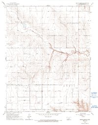
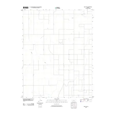
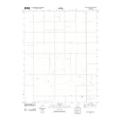
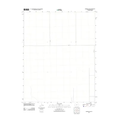
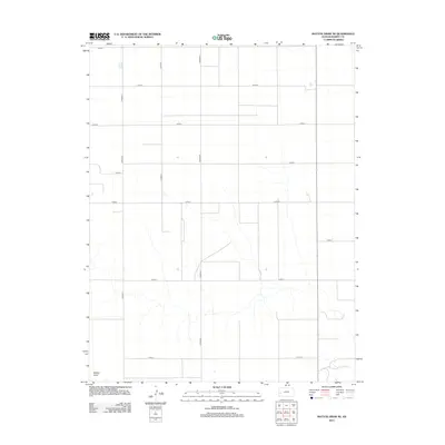
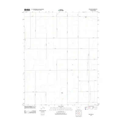
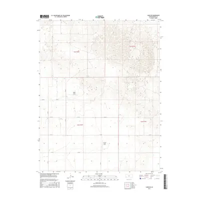
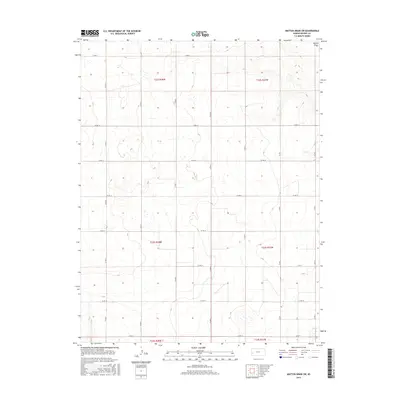
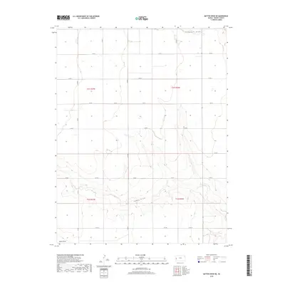
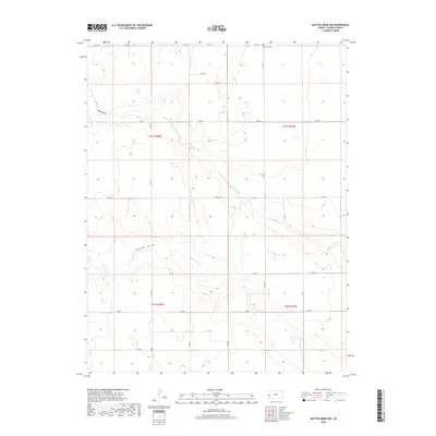
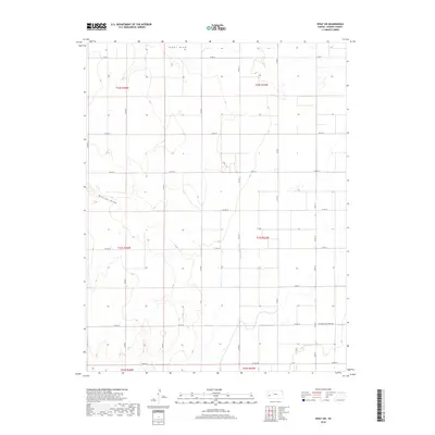
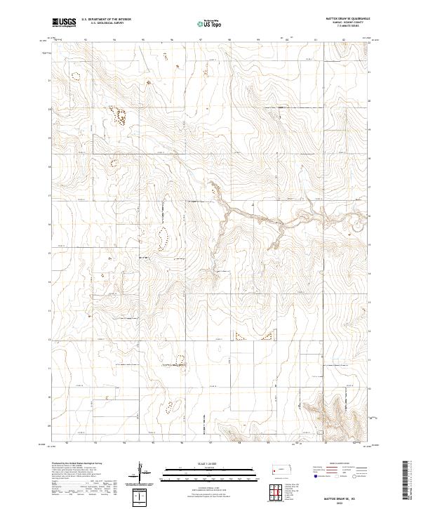
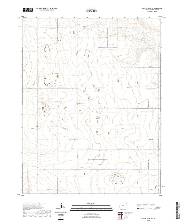
1966 Map of Mattox Draw SW
USGS Topo · Published 1993About this map
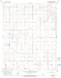
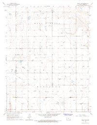
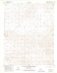
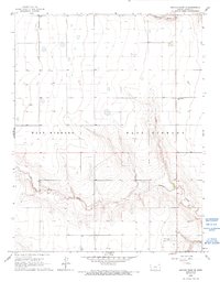
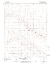
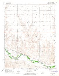
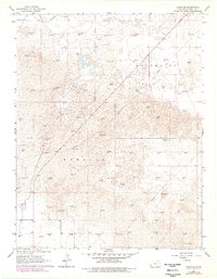
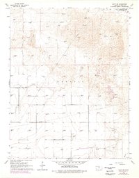
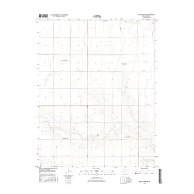
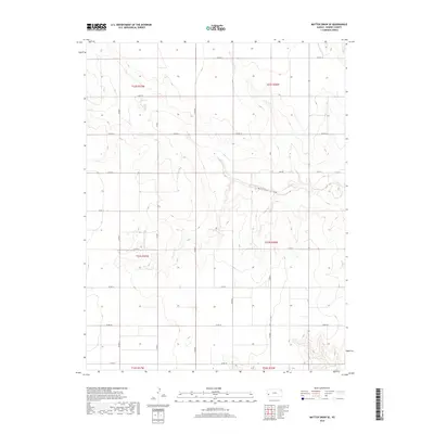
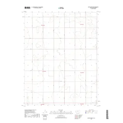
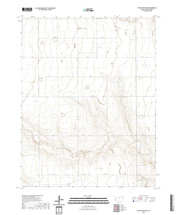
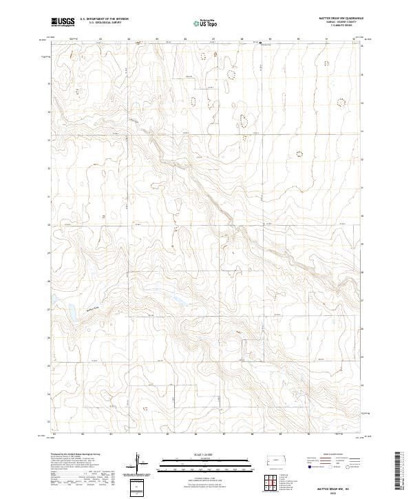
The high plains of western Kansas during the mid-1960s reveal a landscape defined by industrial expansion and large-scale land divisions. The townships of West Hibbard and Hartland are characterized by a regular grid of section lines and a burgeoning energy infrastructure. The map documents an extensive network of mineral extraction sites, with numerous Gas Wells and Oil Wells scattered across the undulating terrain. A major Pipeline traverses the southern portion of the quadrangle, indicating the region's role as a critical energy corridor. These petroleum features, often situated near individual section markers, provide a specific record of land use and subsurface development before later consolidation in the industry. The sparse distribution of surface water and the prominence of industrial labels reflect the arid, resource-focused economy of the High Plains era.
Find a feature on this map
6 named features on this map. Tap any name to fly to it.
Don’t see what you’re looking for? This feature index may not catch every label — zoom into the map to look around manually.
Map Details
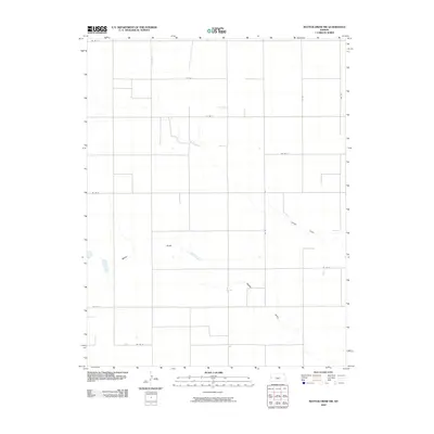
Editions of this 1966 Mattox Draw SW Map
2 editions found
Historical Maps of Kearny County Through Time
61 maps found

1891 Larned
Kearny County, KS
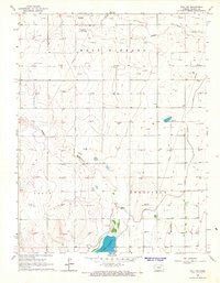
1960 Deerfield SW
Kearny County, KS
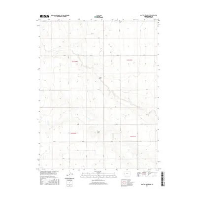
1965 Mattox Draw NE
Kearny County, KS
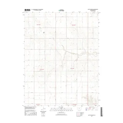
1965 Mattox Draw NW
Kearny County, KS

1965 Wolf NW
Kearny County, KS
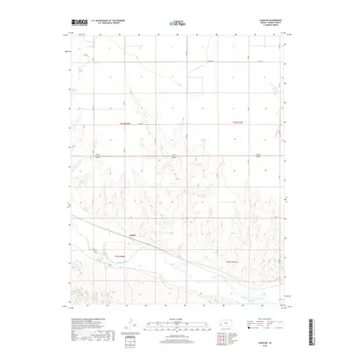
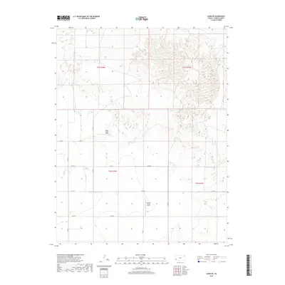
1966 Lakin NW
Kearny County, KS
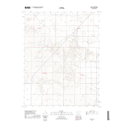
1966 Lakin SE
Kearny County, KS
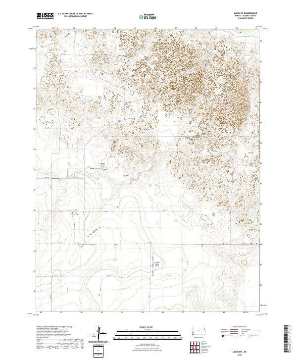
1966 Lakin SW
Kearny County, KS
1966 Mattox Draw SE
Kearny County, KS
1966 Mattox Draw SW
Kearny County, KS
1966 Wolf SW
Kearny County, KS
2009 Deerfield SW
Kearny County, KS
2009 Wolf NW
Kearny County, KS
2009 Wolf SW
Kearny County, KS
2010 Lakin NW
Kearny County, KS
2010 Lakin SE
Kearny County, KS
2010 Lakin SW
Kearny County, KS
2010 Mattox Draw NE
Kearny County, KS
2010 Mattox Draw NW
Kearny County, KS
2010 Mattox Draw SE
Kearny County, KS
2010 Mattox Draw SW
Kearny County, KS
2012 Deerfield SW
Kearny County, KS
2012 Lakin NW
Kearny County, KS
2012 Lakin SE
Kearny County, KS
2012 Lakin SW
Kearny County, KS
2012 Mattox Draw NE
Kearny County, KS
2012 Mattox Draw NW
Kearny County, KS

2012 Mattox Draw SE
Kearny County, KS
2012 Mattox Draw SW
Kearny County, KS
2012 Wolf NW
Kearny County, KS
2012 Wolf SW
Kearny County, KS
2015 Deerfield SW
Kearny County, KS
2015 Lakin NW
Kearny County, KS
2015 Lakin SE
Kearny County, KS
2015 Lakin SW
Kearny County, KS
2015 Mattox Draw NE
Kearny County, KS
2015 Mattox Draw NW
Kearny County, KS
2015 Mattox Draw SE
Kearny County, KS
2015 Mattox Draw SW
Kearny County, KS
2015 Wolf NW
Kearny County, KS
2015 Wolf SW
Kearny County, KS
2018 Deerfield SW
Kearny County, KS
2018 Lakin NW
Kearny County, KS
2018 Lakin SE
Kearny County, KS
2018 Lakin SW
Kearny County, KS
2018 Mattox Draw NE
Kearny County, KS
2018 Mattox Draw NW
Kearny County, KS
2018 Mattox Draw SE
Kearny County, KS
2018 Mattox Draw SW
Kearny County, KS
2018 Wolf NW
Kearny County, KS
2018 Wolf SW
Kearny County, KS
2022 Deerfield SW
Kearny County, KS
2022 Lakin NW
Kearny County, KS
2022 Lakin SE
Kearny County, KS
2022 Lakin SW
Kearny County, KS
2022 Mattox Draw NE
Kearny County, KS
2022 Mattox Draw NW
Kearny County, KS
2022 Mattox Draw SE
Kearny County, KS
2022 Mattox Draw SW
Kearny County, KS
2022 Wolf NW
Kearny County, KS
2022 Wolf SW
Kearny County, KS