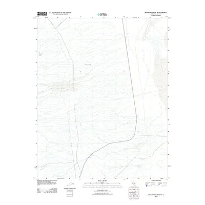
2012 Map of Maturango Peak SE
USGS Topo · Published 2012About this map
Panamint Valley defines the core of this landscape in Inyo County, California, representing a region of dramatic geological activity and high-desert desert basin topography. The map details the Panamint Valley Crater, a distinct geological formation that stands as a landmark in this arid expanse. This 2012 survey illustrates the sparse but critical network of desert transportation, showing how unpaved routes like Nadeau Rd and Slate Range Rd navigate the valley floor. These roads historically connected remote mining sites and outposts across the Mojave, and their layout here reveals the isolation and specific navigational challenges of the Inyo County interior before modern highway developments.
Find a feature on this map
5 named features on this map. Tap any name to fly to it.
Don’t see what you’re looking for? This feature index may not catch every label — zoom into the map to look around manually.
Map Details
Editions of this 2012 Maturango Peak SE Map
This is the sole edition of this map. No revisions or reprints were ever made.
Other maps of this area

1908 · Ballarat
USGS Topo · 1:250,000

1913 · Ballarat
USGS Topo · 1:250,000

1915 · Searles Lake
USGS Topo · 1:250,000

1947 · Trona
USGS Topo · 1:250,000

1948 · Trona
USGS Topo · 1:250,000

1948 · Death Valley
USGS Topo · 1:250,000

1949 · Trona
USGS Topo · 1:62,500

1950 · Trona
USGS Topo · 1:62,500

1950 · Manly Peak
USGS Topo · 1:62,500
1951 · Manly Peak
USGS Topo · 1:62,500